Have we met?
AlphaEarth Foundations is a model from Google DeepMind. It has looked at years of satellite, radar and laser data and turned every 10 by 10 metre patch of land into 64 numbers, once per year. Nobody gave it labels or told it what a field or a forest is. Places that look and behave alike through the seasons just end up with similar numbers.
That makes two questions easy to ask. Where else looks like this place? And how different is this place from itself, eight years ago?
I read the embeddings for the Netherlands and checked every match below against aerial photos.
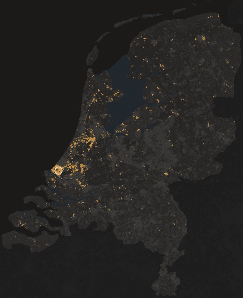
Greenhouses
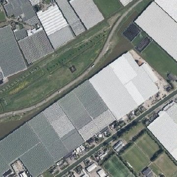 Start: Westland
Most similar
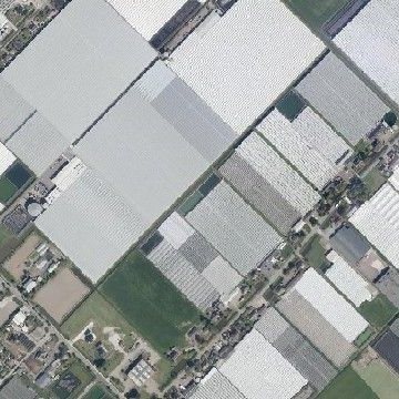 Bleiswijk
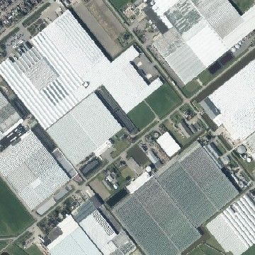 Near Aalsmeer
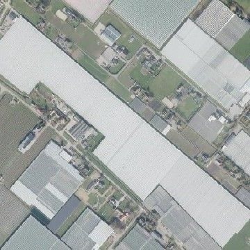 Bergerden, near Arnhem
Dunes
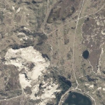 Start: near Bloemendaal
Most similar
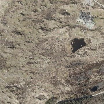 Texel
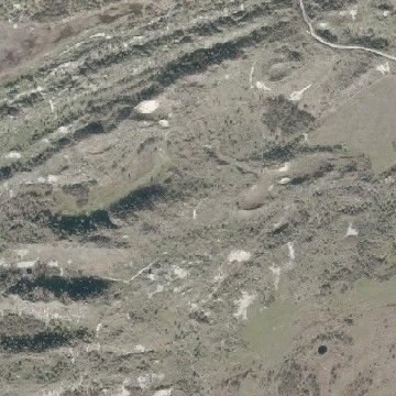 Schouwen
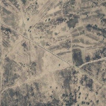 Veluwe, inland
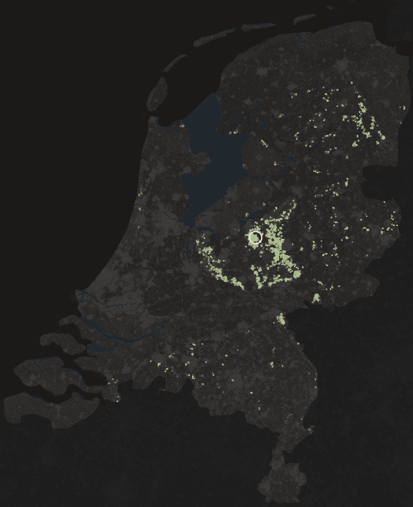
Forest
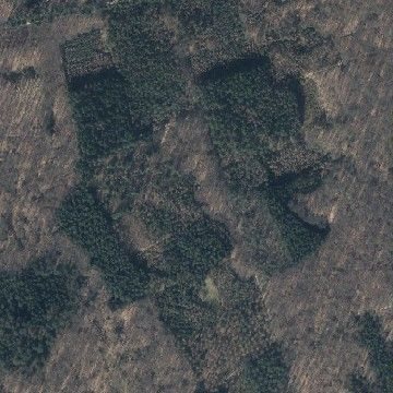 Start: Speulderbos
Most similar
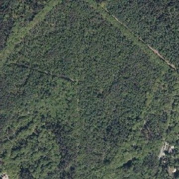 Utrechtse Heuvelrug
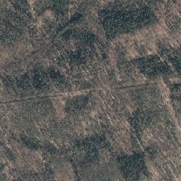 Near Nijmegen
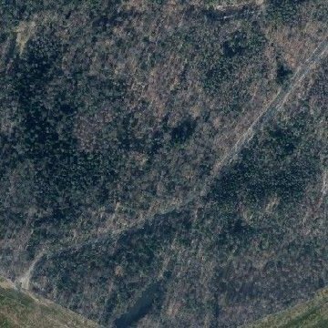 Near Emmen
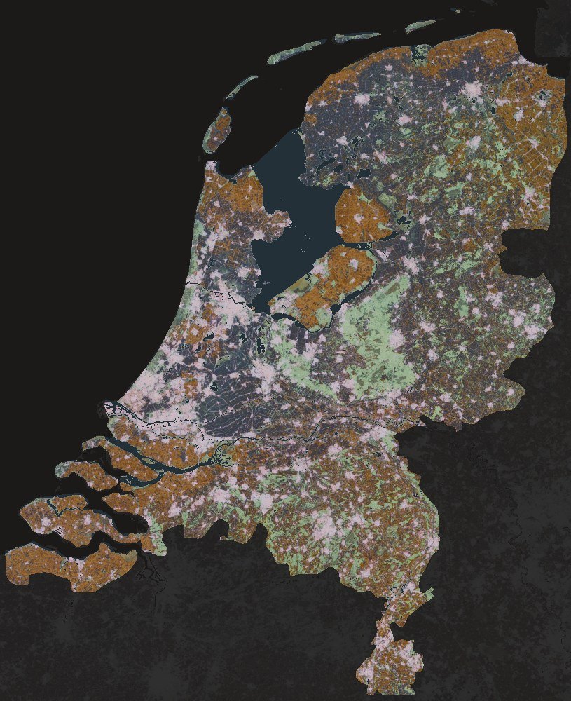
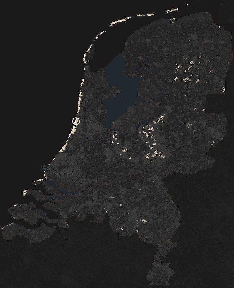
A PCA summary of the 2025 embeddings. The first three principal components of the 64 dimensions become the three colour channels, so places with similar embeddings get similar colours. Roughly, ochre is open farmland, sage is forest and heath, pale pink is built-up and blue-grey is the wet grassland of the peat meadows.
Change detection, 2017 to 2025
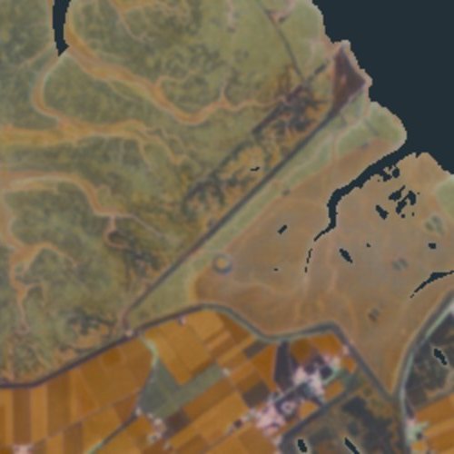
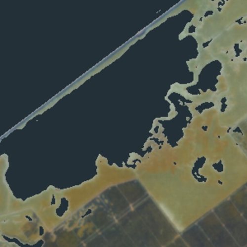
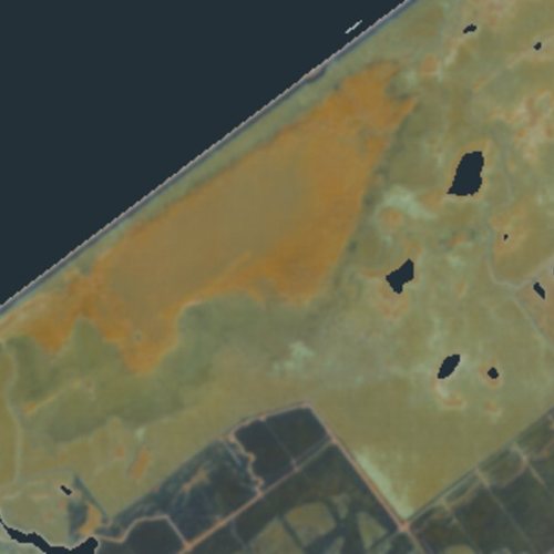
The same model, eight years apart. For every pixel I compared its 2017 embedding with its 2025 one; the bigger the difference, the more the place changed. Three patches stand out.
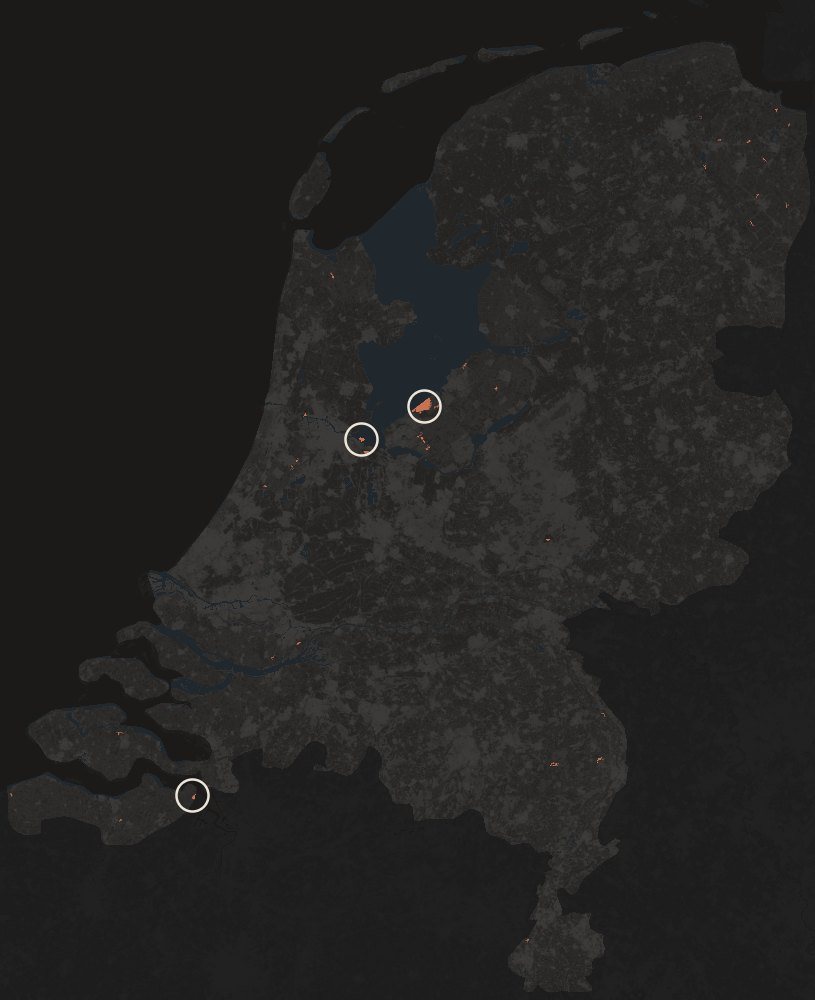
Terracotta marks the largest patches of change. The model says where something changed, not what; each circle needed a news report to explain it.
Strandeiland, Amsterdam
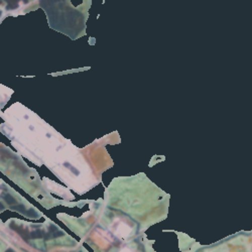 2017
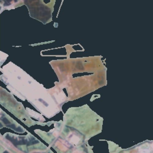 2025
Hedwigepolder, on the Belgian border
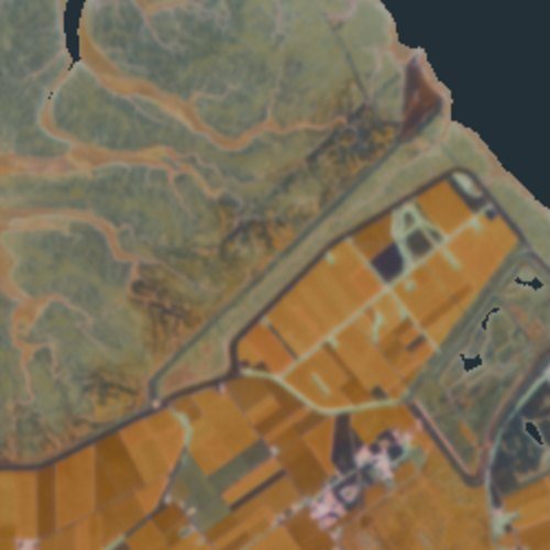 2017
 2025
Oostvaardersplassen
 2017
 2025
The AlphaEarth Foundations Satellite Embedding dataset is produced by Google and Google DeepMind (annual embeddings for 2017 and 2025, CC BY 4.0). Aerial photos from PDOK (Beeldmateriaal Nederland, CC BY 4.0). Country outline from Natural Earth. Background on the changes from NH Nieuws (Strandeiland), VRT NWS (Hedwigepolder) and the Vakblad Natuur Bos Landschap (Oostvaardersplassen).