The clearing that grew back
The Netherlands has been laser-scanned from the air several times. Put the surveys on top of each other and the forest gets a memory.
In this patch, a stand was cleared between 2008 and 2014. By 2021 a young forest stands in its place, over eight metres taller than the bare ground before it. The mature forest around it barely changed, which is a good sign the surveys line up.
Colour is canopy height. Trees that disappear between two scans turn ember before they go; new growth arrives in green.
- Low canopy
- About 15 m
- 30 m and up
- Lost
- New
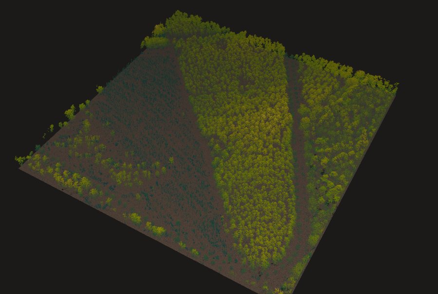 2008
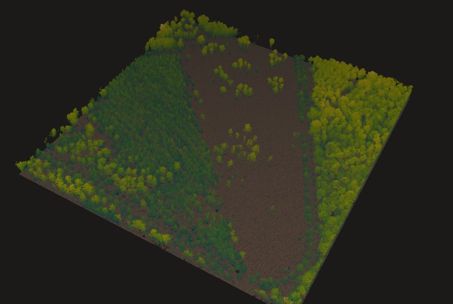 2014
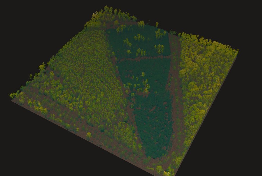 2021
AHN2 (2008), AHN3 (2014) and AHN4 (2021) laser scans (Rijkswaterstaat, Het Waterschapshuis), via GeoTiles.nl.