A mountain from five free drone clips
I wanted to see how much of a real mountain you can rebuild from drone footage. These are five free stock clips, filmed on a cloudy day by someone who was making a very nice video.
Structure from motion works out where the drone was for each frame. Then a Gaussian splat, a million small coloured blobs, is fitted until it looks like the photos from every one of those positions.
The clouds were the hard part. They move between frames, so the model fills the sky with half-transparent haze. I kept only the blobs that sit on solid ground the cameras saw from close by, and let the rest fade out.
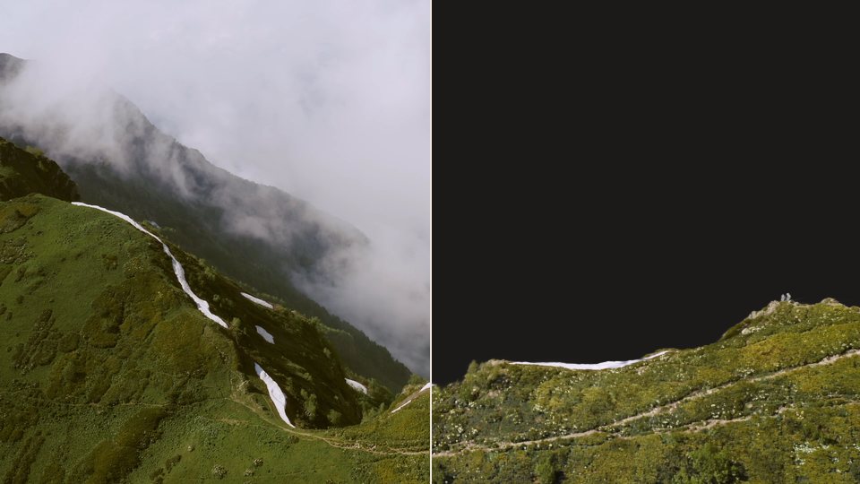 Clip 1, frame 11
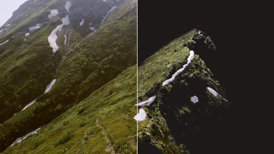 Clip 5, frame 839
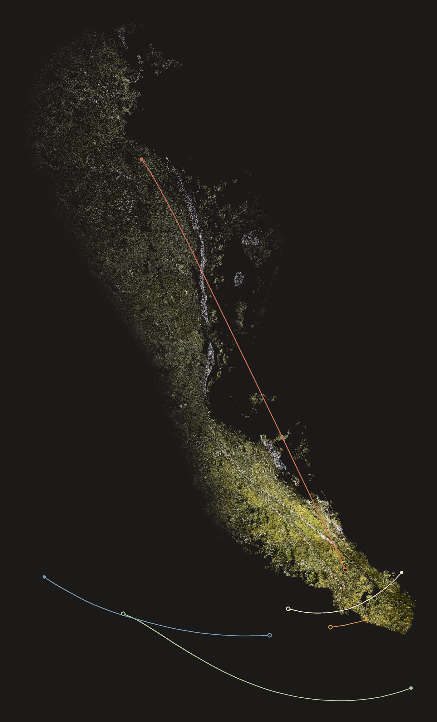
Where the drone was. Every frame gets a position from the reconstruction, so each clip becomes a flight path. An open circle marks the start, a filled one the end. Only one clip flew along the ridge; the others circle its southern end, which is why that end is the sharpest part of the model.
- Clip 1, a long sweep to the south
- Clip 2, a pass further out
- Clip 3, a short turn at the tip
- Clip 4, straight along the ridge
- Clip 5, an arc around the tip
The same flight, coloured by which clip saw each part of the ridge from closest up. The far slope comes almost entirely from clip 4, the only one that flew over it.
- Clip 1
- Clip 4
- Clip 5
Drone footage: five free clips from Pexels (4762905, 4763085, 4763474, 4763824, 4763873), Pexels licence. Camera poses and splat trained with Spirula Studio; renders and clean-up are my own scripts.